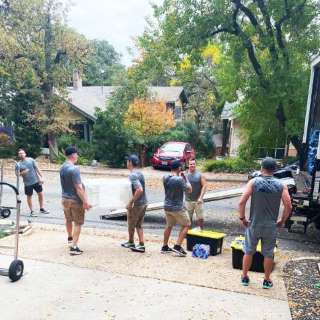
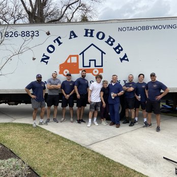
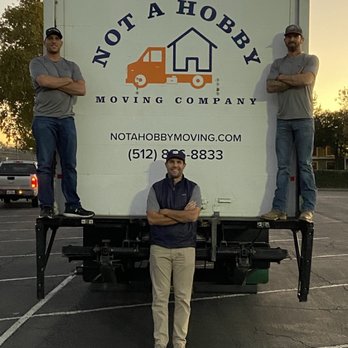
Best Austin Moving Company
Let’s Make This Move Fast, Fun & Affordable
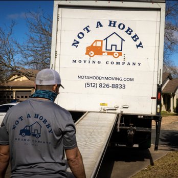
- Loading / Unloading
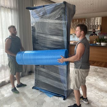
- Shrink Wrap & Tape Included
- Use of Blankets & Pads
- Packing / Unpacking Services
- Furniture Disassembly/ Reassembly
- Hauling & Removal
- Long Distance Moving
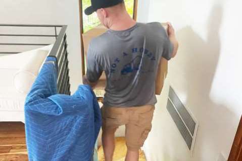
Moving to or from an Austin, Texas apartment? Our highly qualified team members can navigate stairs, narrow hallways, and awkward angles. With a white-glove moving service, you can enjoy knowing your items are in good hands. Not A Hobby Moving makes Austin apartment moving easy, affordable, and reliable.
Are you looking for Austin movers to relocate your family? Not A Hobby Moving can handle homes of any size - one bedroom to five or more! Let our moving team members pack your belongings and move them safely and securely to your new home. Once there we unpack and let you get settled in.
Have you rented a new office in Austin for a personal business? Are you a business owner transferring buildings or an employee needing to relocate to a new office? Do you need to remodel your Austin office or commercial building? Our moving team will ensure your office equipment and furniture is safely moved to your new business space.
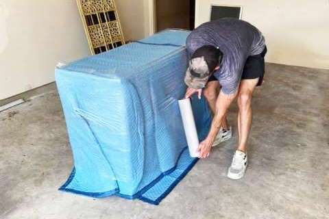
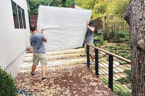
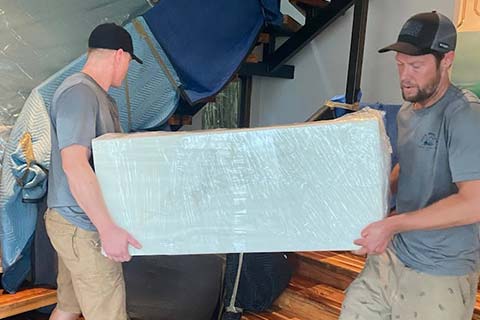
Full-service moving includes premium packing and unpacking services. Not A Hobby Moving brings the supplies, including shrink wrap, tape, furniture disassembly, and reassembly. Making your moving experience stress-free. Only found with your Austin, TX moving company, and our specialized team members.
 Why Choose Us?